Building 3D twinning technology from many different data sets for automated asset monitoring.
Overview
| Company | |
|---|---|
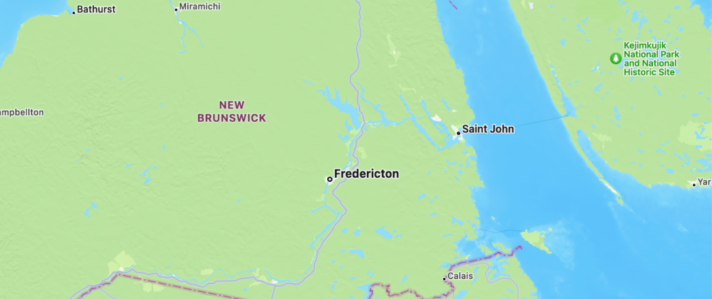
| Headquarters | Fredericton, New Brunswick |
| Founded | 2018 |
| Founder(s) | Norm Couturier, Tom Batty |
| Ownership | Private |
| Media | ||
|---|---|---|
| Website | ||
Description
Terris (previously Terris Earth Intelligence), goes beyond Earth observation to "intelligence". In data science, this distinction is important, as data's value improves as it moves from data to knowledge and from knowledge to intelligence with each step improving the types of decision making possible.
Terris's three products highlight different ways to create intelligence for customers.
- Terris Fusion brings together data from satellites, aerial sources (e.g. balloons, airplanes, helicopters, drones), ground images, and underwater light and acoustic data, publicly available geographic information (e.g. weather and climate patterns, infrastructure). The information is used to create a "digital twin" of the assets or infrastructure of interest.
- Terris Pilot helps clients explore their monitored assets in 3D, backwards and forwards in time with commenting and markup.
- Terris Delta sets up persistent scanning for anomalies and patterns. Terris Delta identifies changes to buildings or vegetation and notify clients.
The use of AI to monitor data sources for clients is an important evolution for Earth Observation. Freeing clients from purchasing their own data and analyzing it on their own, improves clients' return on investment. The Terris team seem focused on delivering these types of improved insights to companies with assets or infrastructure such as rail lines, electric power lines, gas pipelines, solar/wind farms, forestry, agriculture, or decommissioned mine sites.
Recent News & Updates
March 1, 2022
Terris drops "Earth Intelligence" from its name. This type of rebranding, common as startups develop their vision and product-market fit,
Introducing our new brand name – Terris. Same great company, now with a name that better reflects who we are and where we're going. Welcome to the new era of earth intelligence. https://t.co/hnZP6jwDut #earthobservation
— Terris 🇨🇦 (@TerrisEarth) March 1, 2022
Related
🌎 Earth Observation
- Galaxia Mission Systems - Delivering plug-and-play satellite hardware for real-time Earth observation optimized with artificial intelligence techniques.
- Lux Aerobot - Providing Earth observation via stratospheric balloons.
- Metaspectral - digital image compression, storage & analysis
- NorthStar Earth & Space - Mapping space for sustainable usage for government and industry clients.
- SpaceAlpha Insights - Delivering Earth observation insights from synthetic aperture radar (SAR) satellites to address global challenges.
- Terris - Building 3D twinning technology from a large number of different data sets for automated asset monitoring.
- Wyvern - Delivering hyperspectral imagery satellites with on-orbit computational abilities.
